
Fort Canning MRT Station
Fort Canning MRT Station (DT20) is a rapid transit station on the Downtown Line in Singapore, featuring 2 exits: Exit A, Exit B. Use the interactive map to see every exit on the ground, or share your location to get walking directions to the exit closest to you.
All exits at Fort Canning MRT Station
- Exit A Open in Google Maps
- Exit B Open in Google Maps
MRT stations near Fort Canning
- Clarke Quay MRT Station 520 m
- Dhoby Ghaut MRT Station 740 m
- Chinatown MRT Station 850 m
- City Hall MRT Station 870 m
- Bras Basah MRT Station 910 m
- Bencoolen MRT Station 930 m
What's near Fort Canning MRT Station
Places whose closest MRT station is Fort Canning. Each page shows which exit to use and how far the walk is.
- Rollermania 220 m · 4 min walk
- Sri Thendayuthapani Temple 220 m · 4 min walk
- The Robertson House by The Crest Collection 230 m · 4 min walk
- Robertson Quay Hotel 280 m · 5 min walk
- Fort Canning Park 290 m · 5 min walk
- Singapore Repertory Theatre 300 m · 5 min walk
- Church of the Sacred Heart 360 m · 6 min walk
- Tan Si Chong Su 380 m · 6 min walk
- Hong San See Temple 380 m · 6 min walk
- Alma House 540 m · 9 min walk
Station coordinates: 1.292436, 103.844212. Exit positions are sourced from LTA open data.
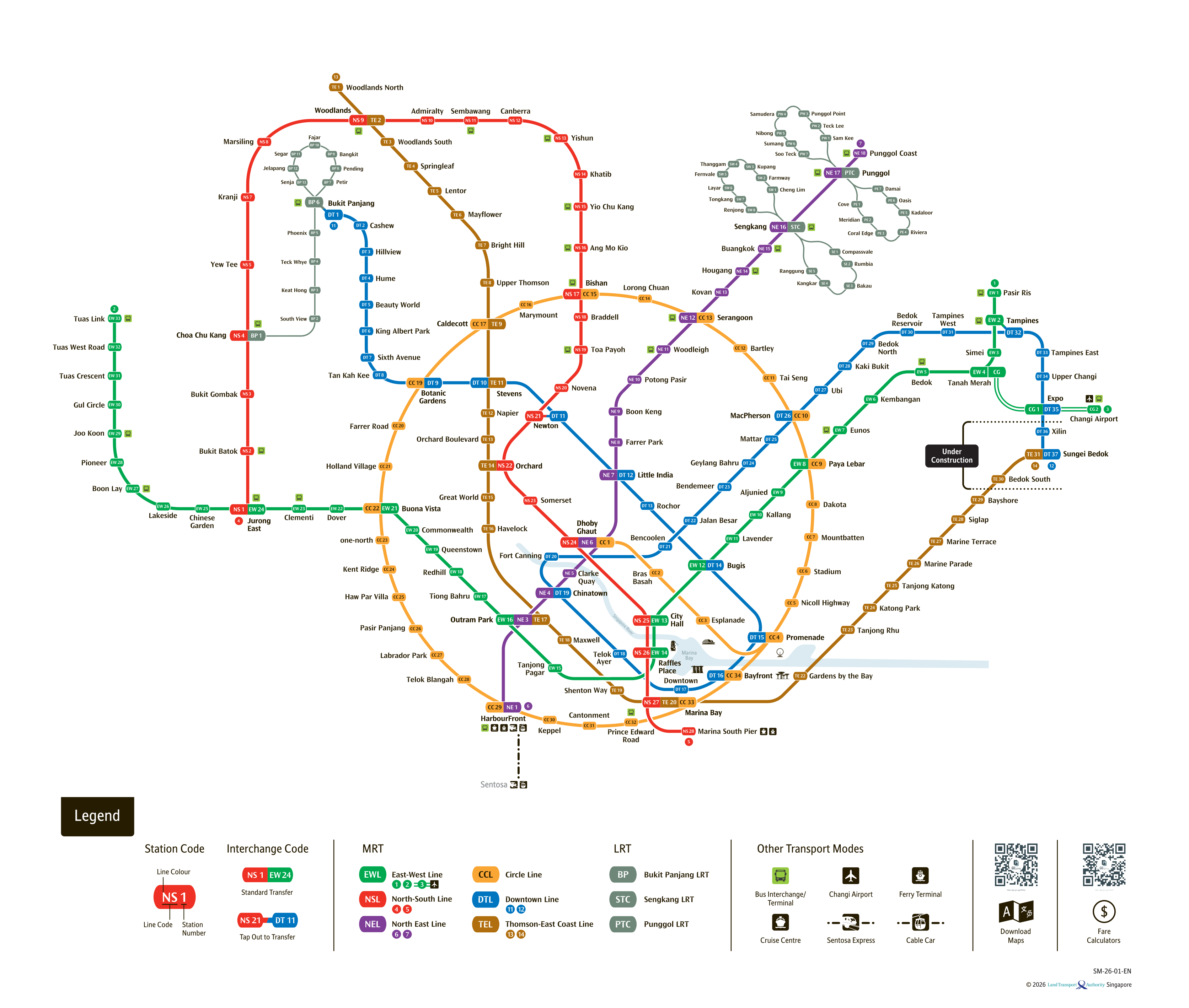
See the full Singapore MRT system map
All six lines and every station on one zoomable map — in English, 华文, Bahasa Melayu and தமிழ். Plan a route and fare between any two stations while you are there. Open the system mapFind the Nearest MRT Station to Your Location
Need the nearest MRT station right now? Click the button below to use your device's live GPS to instantly find the closest Singapore MRT station. We'll show you exactly which exit is closest to you and how to get there.