
Nearest MRT to Kallang Water Sports Center
The nearest MRT station to Kallang Water Sports Center is Stadium MRT Station. Its closest exit, Exit A, is about 530 m from the sports centre — roughly 9 minutes on foot.
Closest exits at Stadium MRT Station
Leaving by the right exit saves more time than any other decision at a Singapore interchange. These are the exits nearest Kallang Water Sports Center:
- Exit A Walking directions
- Exit B Walking directions
Other MRT stations near Kallang Water Sports Center
Coming from another line? These stations are the next closest, and may be a shorter journey overall.
- Tanjong Rhu MRT Station 800 m · 13 min walk
- Kallang MRT Station 820 m · 13 min walk
- Lavender MRT Station 830 m · 14 min walk
About Kallang Water Sports Center
- Type
- Sports centre
- Coordinates
- 1.304372, 103.869999
See every exit and the full exit map on the Stadium MRT Station page, or browse the Singapore MRT system map. Distances are straight-line from Kallang Water Sports Center to the nearest station exit; walking times are estimates. Place data © OpenStreetMap contributors, station exits from LTA open data.
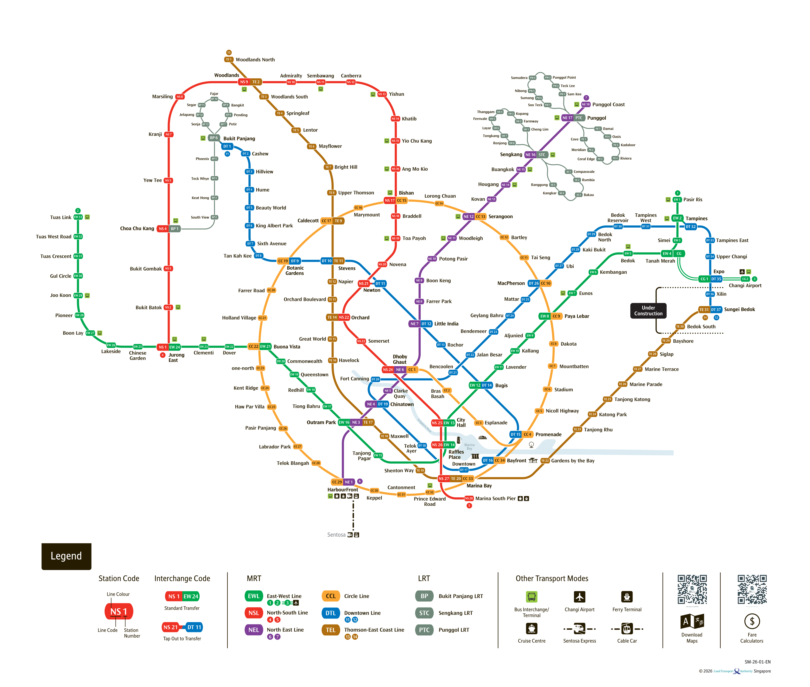
See the full Singapore MRT system map
All six lines and every station on one zoomable map — in English, 华文, Bahasa Melayu and தமிழ். Plan a route and fare between any two stations while you are there. Open the system mapFind the Nearest MRT Station to Your Location
Need the nearest MRT station right now? Click the button below to use your device's live GPS to instantly find the closest Singapore MRT station. We'll show you exactly which exit is closest to you and how to get there.