
Rochor MRT Station
Rochor MRT Station (DT13) is a rapid transit station on the Downtown Line in Singapore, featuring 2 exits: Exit A, Exit B. Use the interactive map to see every exit on the ground, or share your location to get walking directions to the exit closest to you.
All exits at Rochor MRT Station
- Exit A Open in Google Maps
- Exit B Open in Google Maps
MRT stations near Rochor
- Jalan Besar MRT Station 330 m
- Little India MRT Station 470 m
- Bugis MRT Station 540 m
- Bencoolen MRT Station 640 m
- Bras Basah MRT Station 710 m
- Dhoby Ghaut MRT Station 950 m
What's near Rochor MRT Station
Places whose closest MRT station is Rochor. Each page shows which exit to use and how far the walk is.
- Adamson Lodge 40 m · 1 min walk
- The Gem Museum 40 m · 1 min walk
- Perak Hotel 70 m · 1 min walk
- The Daulat 70 m · 1 min walk
- Masjid Abdul Gafoor 70 m · 1 min walk
- Sim Lim Square 80 m · 1 min walk
- Sandpiper Hotel 90 m · 1 min walk
- Lithe House 90 m · 1 min walk
- Tekka Place 100 m · 2 min walk
- Campbell Inn 100 m · 2 min walk
- Lasalle College of the Arts (McNally Campus) 110 m · 2 min walk
- Checkers Backpackers 110 m · 2 min walk
Browse every place by nearest MRT station ›
Station coordinates: 1.303622, 103.852657. Exit positions are sourced from LTA open data.
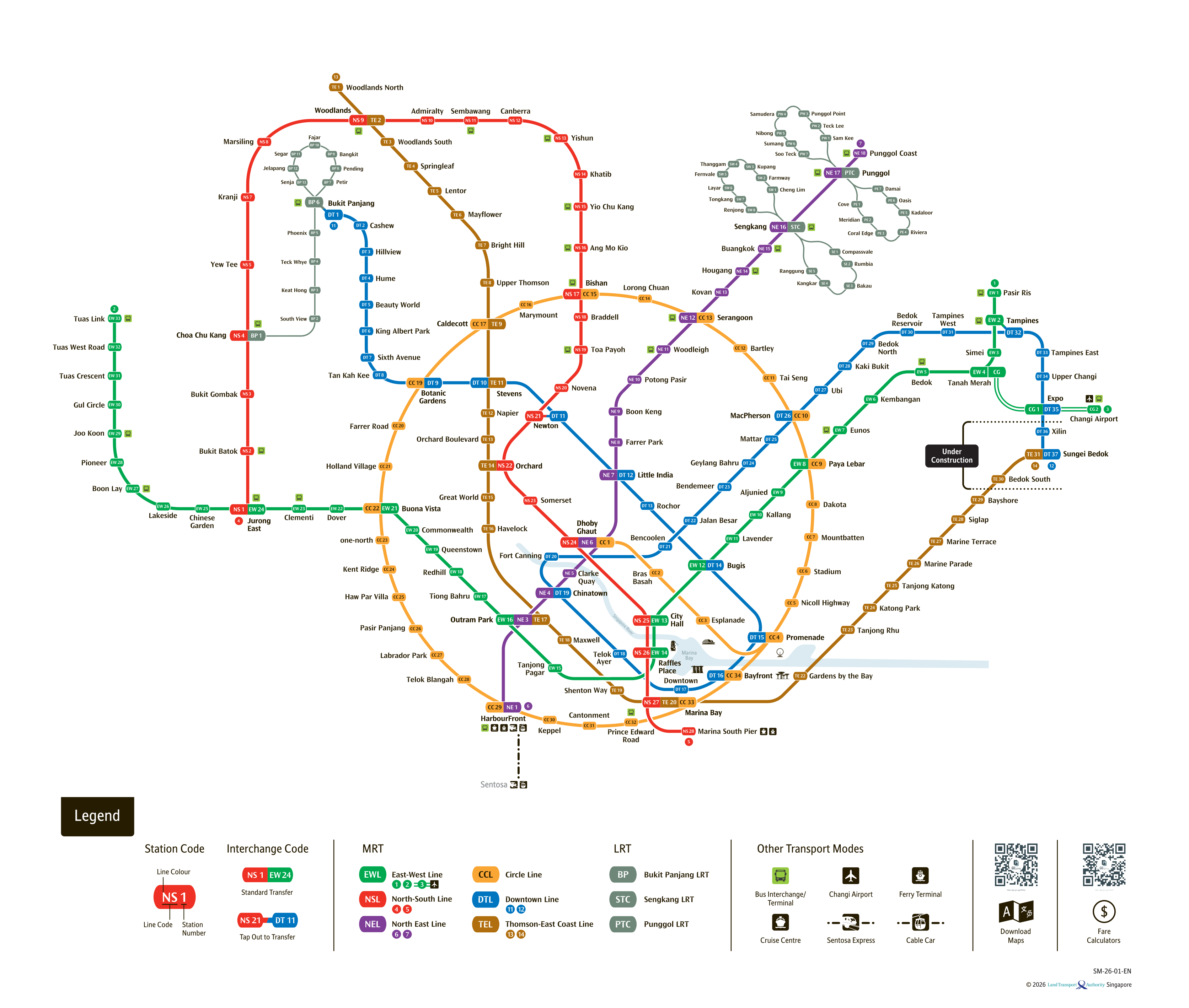
See the full Singapore MRT system map
All six lines and every station on one zoomable map — in English, 华文, Bahasa Melayu and தமிழ். Plan a route and fare between any two stations while you are there. Open the system mapFind the Nearest MRT Station to Your Location
Need the nearest MRT station right now? Click the button below to use your device's live GPS to instantly find the closest Singapore MRT station. We'll show you exactly which exit is closest to you and how to get there.