
Sengkang MRT Station
Sengkang MRT Station (NE16 · STC) is an interchange station on the North East Line and Sengkang LRT in Singapore, featuring 4 exits: Exit A, Exit B, Exit C, Exit D. Use the interactive map to see every exit on the ground, or share your location to get walking directions to the exit closest to you.
All exits at Sengkang MRT Station
- Exit A Open in Google Maps
- Exit B Open in Google Maps
- Exit C Open in Google Maps
- Exit D Open in Google Maps
MRT stations near Sengkang
- Buangkok MRT Station 1000 m
- Punggol MRT Station 1.7 km
- Hougang MRT Station 2.3 km
- Kovan MRT Station 3.8 km
- Serangoon MRT Station 5.2 km
- Ang Mo Kio MRT Station 5.6 km
What's near Sengkang MRT Station
Places whose closest MRT station is Sengkang. Each page shows which exit to use and how far the walk is.
- Compass One 50 m · 1 min walk
- Sengkang Public Library 80 m · 1 min walk
- Compassvale Mast Residents' Network 110 m · 2 min walk
- Morning Star Sengkang 190 m · 3 min walk
- Sengkang Community Club 200 m · 3 min walk
- Sengkang Family Service Centre 320 m · 5 min walk
- Sengkang Sculpture Park 320 m · 5 min walk
- Compassvale Primary School 350 m · 6 min walk
- Sengkang Family Service Centre @206B 450 m · 7 min walk
- Sengkang General & Community Hospital 470 m · 8 min walk
- Nan Chiau Primary School 480 m · 8 min walk
- Seng Kang Primary School 490 m · 8 min walk
Browse every place by nearest MRT station ›
Station coordinates: 1.391700, 103.895456. Exit positions are sourced from LTA open data.
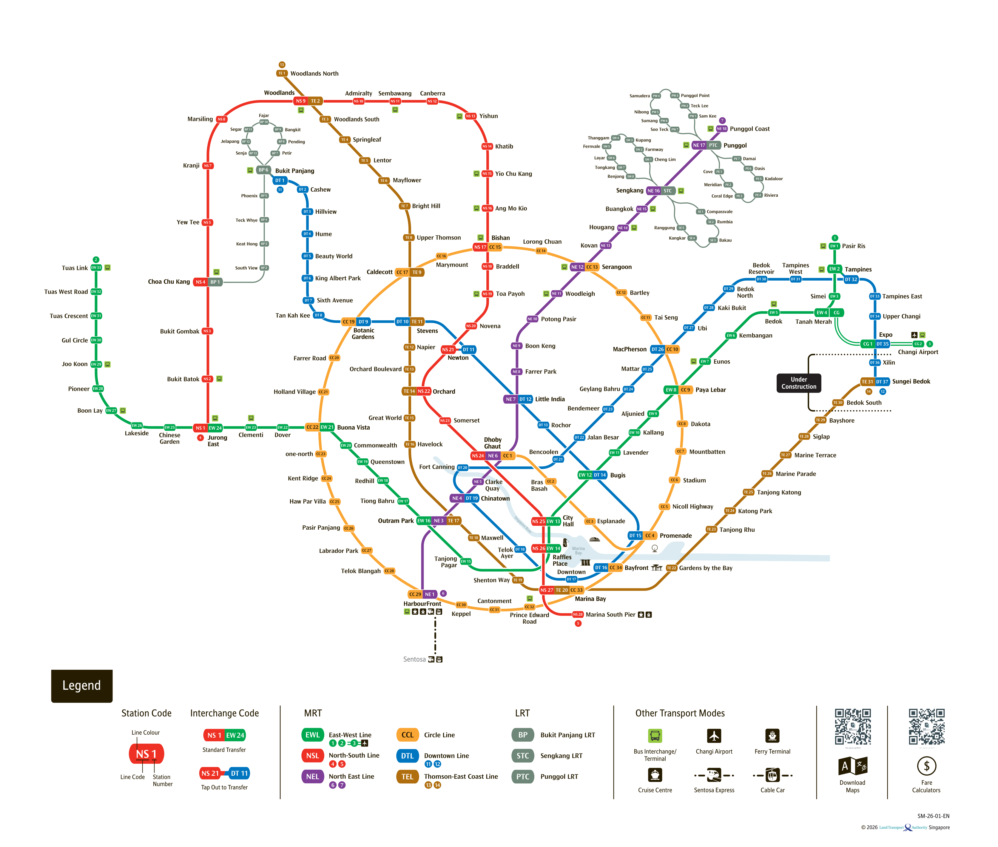
See the full Singapore MRT system map
All six lines and every station on one zoomable map — in English, 华文, Bahasa Melayu and தமிழ். Plan a route and fare between any two stations while you are there. Open the system mapFind the Nearest MRT Station to Your Location
Need the nearest MRT station right now? Click the button below to use your device's live GPS to instantly find the closest Singapore MRT station. We'll show you exactly which exit is closest to you and how to get there.